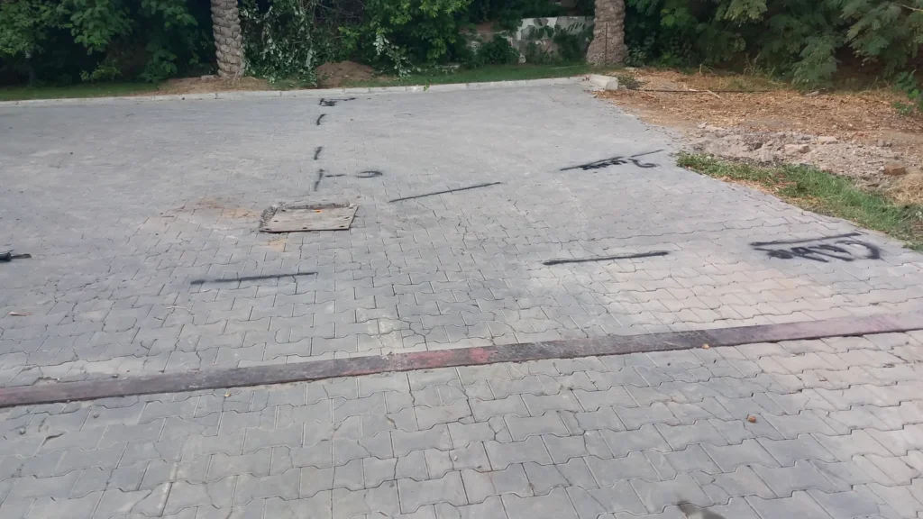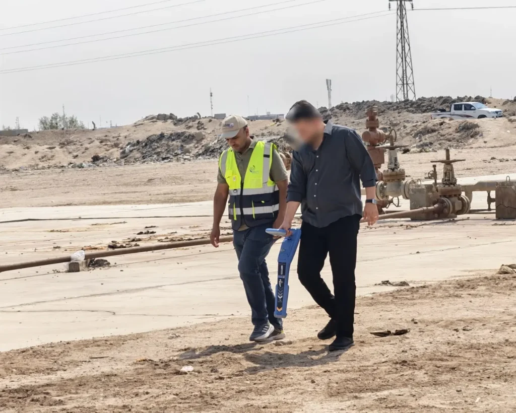
RD8200G Training for Oil-Pipeline Locating, Basrah
Basrah · October 2026
A theoretical and practical RD8200G course that taught an oil-field engineering team to trace buried pipelines and turn their field measurements into maps.
Read moreSurveys, training and data processing delivered across Iraq and beyond
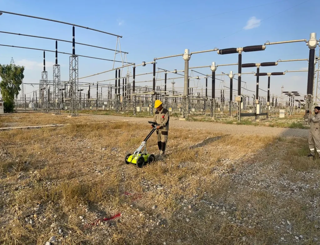
Basrah · October 2026
A theoretical and practical RD8200G course that taught an oil-field engineering team to trace buried pipelines and turn their field measurements into maps.
Read more
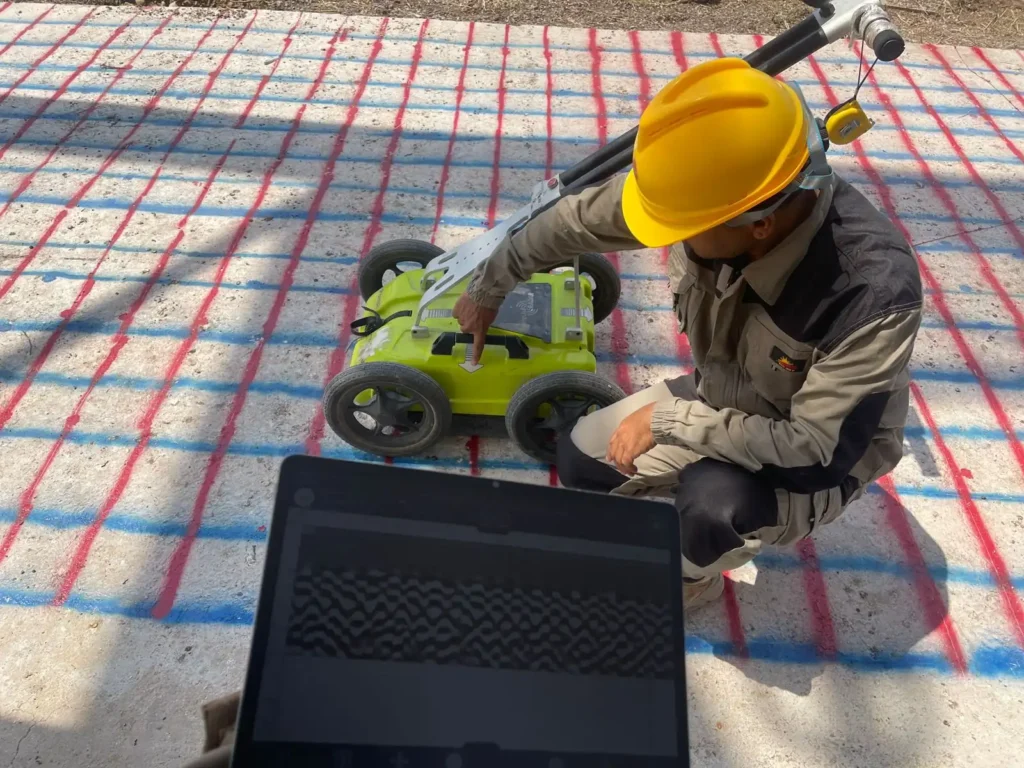
Taza, Kirkuk, Iraq · June 2026
Five areas of a live electrical station in Kirkuk scanned with both GPR and an RD8200 locator to find and delineate buried pipes and cables, with every result georeferenced.
Read more
Taza, Kirkuk, Iraq · June 2026
An 800 MHz GPR survey mapping the rebar mesh in a concrete slab, so that five core samples could be cut without cutting reinforcement.
Read more
Green Zone, Baghdad · June 2026
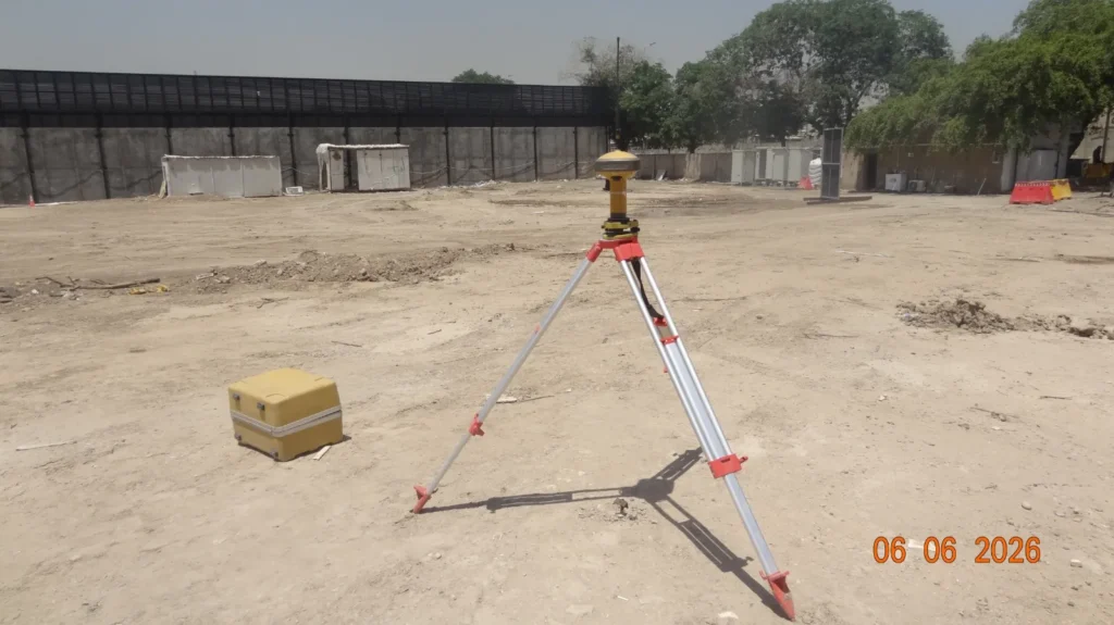
A utility locating survey in the Green Zone, Baghdad, with detected services marked on the ground and their positions recorded by GNSS.
Read more
Middle Euphrates provinces, Iraq
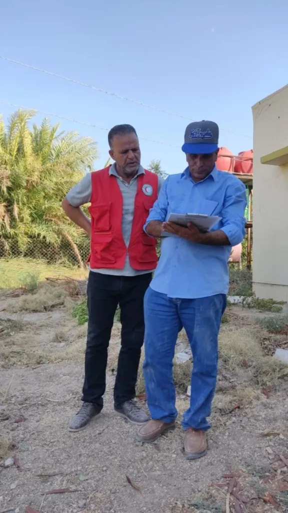
Hydrogeological survey with the Iraqi Red Crescent to evaluate groundwater contamination across the middle Euphrates provinces, including pumping tests and water analysis.
Read more
Canada
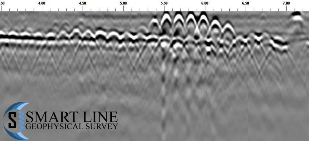
Processing and interpretation of 1600 MHz GPR data collected over a cracked concrete floor in Canada, delivered as an integrated report.
Read more
Red Sea shoreline
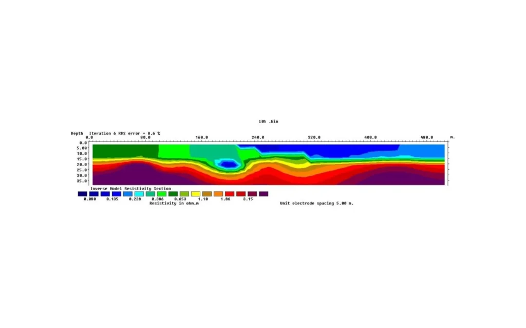
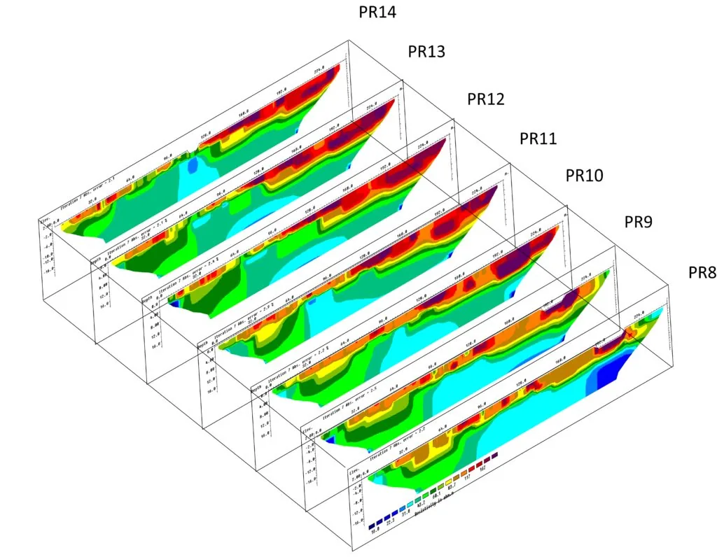
Geological assessment of alluvial fan deposits near the Red Sea shoreline, combining 12 onshore ERT profiles with 10 offshore profiles using floating electrodes.
Read more
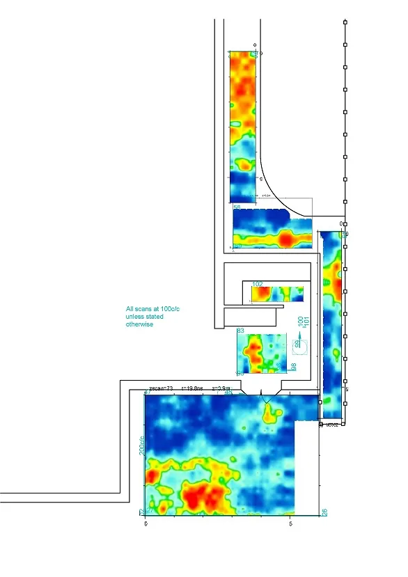
106 GPR scans across orthogonal and parallel grids to assess ground conditions and voids ahead of grouting, for Trace Structure Investigations Ltd.
Read more
Kingdom of Saudi Arabia
Consultation, processing and interpretation for a 2D electrical resistivity tomography survey to locate near-surface cavities in Saudi Arabia.
Read more
February 2024
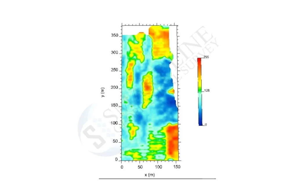
Processing and interpretation of GPR data resolving several voids within a limestone layer at about one metre, presented as 2D and 3D visualisations.
Read more
Iraq · March 2026
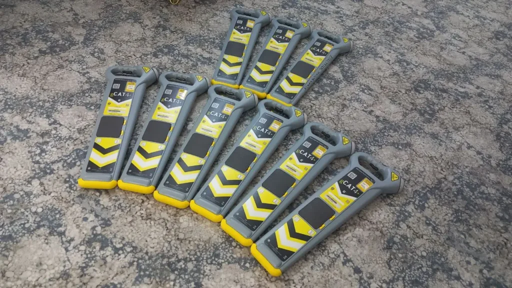
Nine Radiodetection gCAT+4 utility locators tested and calibrated, each issued with an eCert calibration certificate.
Read more
Iraq · October 2025
A combined GPR and RD8100 survey locating buried pipes, cables and a manhole, marked on the ground and recorded as GPS coordinates.
Read moreContact our Baghdad office to schedule a deployment anywhere in Iraq.