Advanced Geophysical & GPR Surveys in Iraq
Delivering critical subsurface intelligence for infrastructure, construction, and urban planning projects with state-of-the-art technology.
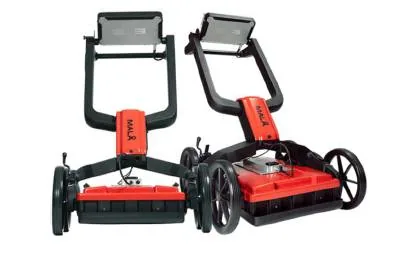
Ready for any Engineering Challenge
The Smart Line Geophysical survey announces its readiness to carry out various engineering geophysical surveys using Ground-Penetrating Radar (GPR) technology in Baghdad and all governorates of Iraq.
- Determining the extension of subsurface water and sewage pipe networks.
- Tracing electrical cables and internet FTTH optical lines.
- Identifying engineering problems like voids and cracks in roads or building walls.
- Determining the rebar grid for safe core testing inside concrete blocks.
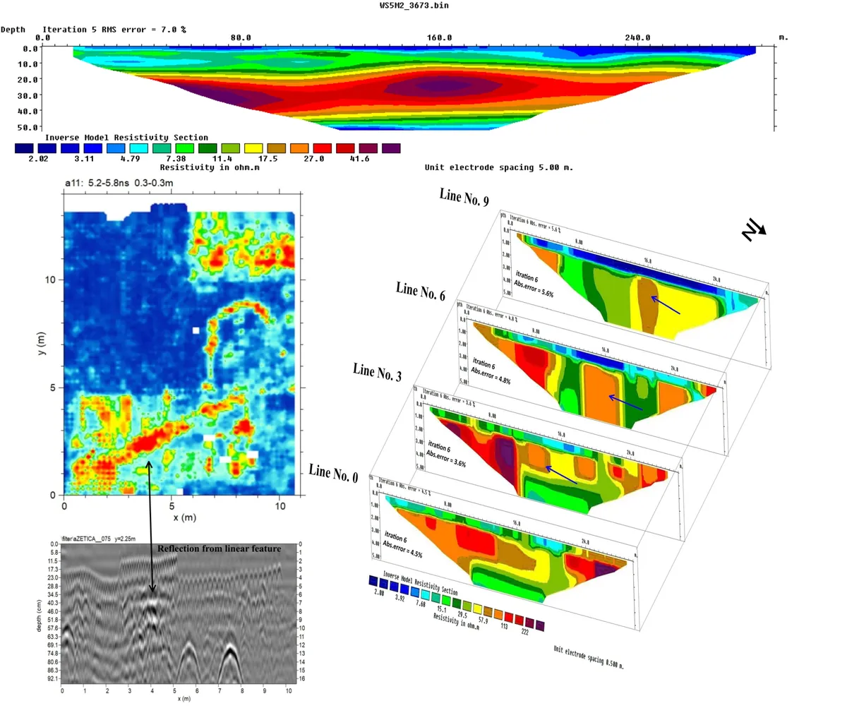
Comprehensive Survey Methods
We are ready to do different geophysical surveys using both Ground-penetrating radar (GPR) and Electrical resistivity tomography (ERT). This includes:
- Environmental surveys like plume delineation and underground void detection.
- Groundwater aquifer delineation.
- Archaeological investigations detecting buried walls and buildings.
Data Processing Service
Smart Line Geophysical survey can process data provided by third parties. We are also able to interpret processed data and provide written reports and GIS/CAD-compatible files based on our interpretation of the processed data.
Read Brochure for More InfoTraining & Consultations
We provide a wide range of online and on-site geophysical courses for both Ground-penetrating Radar (GPR) and Electrical Resistivity Tomography (ERT). We also offer different types of consultations for archaeology, groundwater, environmental contamination, concrete inspection, and more.
Our Core Expertise
Comprehensive surveying solutions designed for accuracy and safety.
Ground-Penetrating Radar
Detect utilities, voids, and anomalies without breaking ground using the latest GPR devices.
Read MoreEngineering Surveys
Pre-construction site assessments and as-built surveys for critical infrastructure projects.
Read MoreUtility Mapping
Detailed 2D/3D maps of underground utilities to prevent costly damages during excavation.
Read MoreReady to start your next project?
Contact our Baghdad office to schedule a deployment anywhere in Iraq.