A full understanding of GPR data processing is what produces an accurate map of a target, in both 2D and 3D. In this dataset, several voids were resolved within a limestone layer at a depth of about one metre.
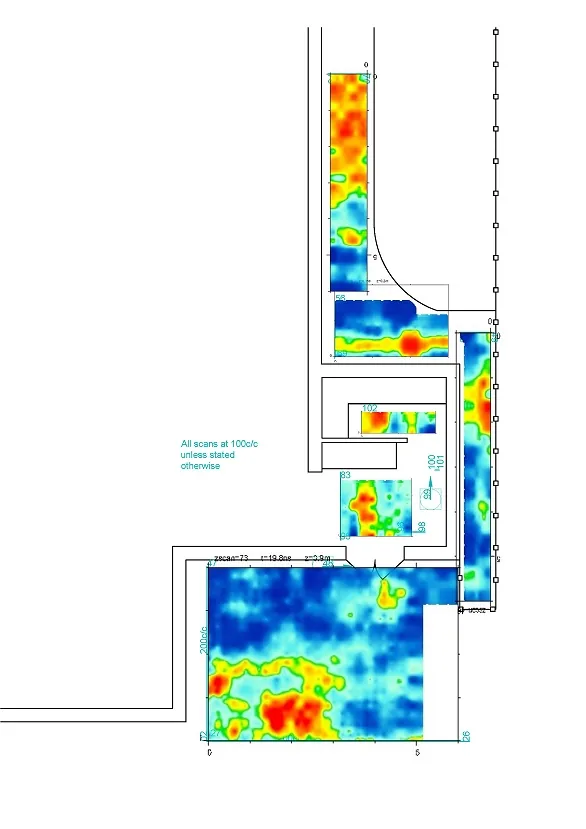
The amplitude slice covers a survey area of roughly 150 by 380 metres. Amplitude is plotted on a 0–255 scale, and the warm patches running through it are the void anomalies — their plan shape and extent readable directly off the map.
The depth slice is the useful output here. A single radar profile shows an anomaly; a set of processed, correctly positioned slices shows its extent and shape in plan, which is what an engineer actually needs in order to decide what to do about it.
Smart Line Geophysical Survey processes and interprets GPR and ERT data collected by third parties, from almost any instrument regardless of manufacturer, and delivers written reports together with GIS and CAD-compatible files.