A utility locating survey carried out in the Green Zone, Baghdad, to establish what lies beneath a site ahead of works.
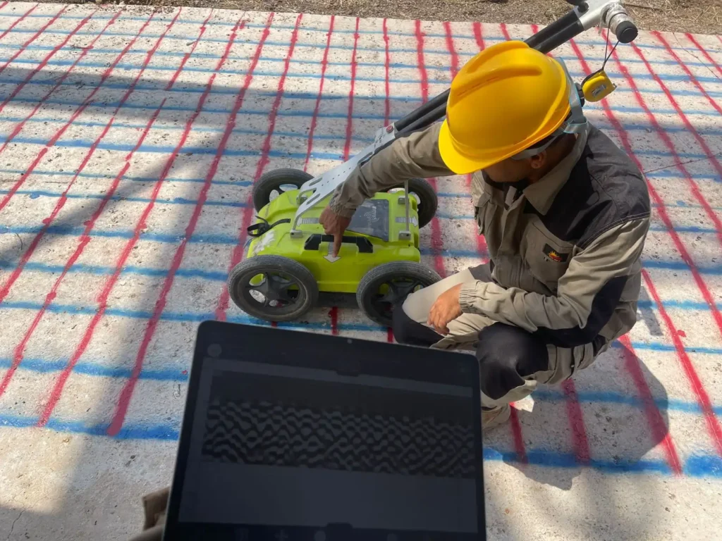
Detected services were traced and marked directly onto the ground surface for the crews working there, and their positions were recorded with a GNSS receiver so the results survive as coordinates rather than as paint that weathers away.
The survey covered open ground and continued beneath an existing concrete structure, where restricted headroom and heavy rubble make access difficult and buried services are least likely to be documented.
Marking a traced service onto the ground surface with spray paint during the surveyLocating buried services beneath an existing concrete structure on the site
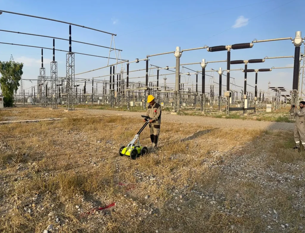
Five areas of a live electrical station in Kirkuk scanned with both GPR and an RD8200 locator to find and delineate buried pipes and cables, with every result georeferenced.
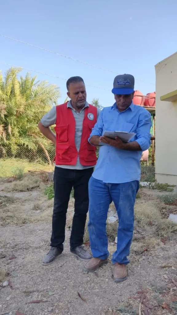
Hydrogeological survey with the Iraqi Red Crescent to evaluate groundwater contamination across the middle Euphrates provinces, including pumping tests and water analysis.