Utility Survey, Baghdad Green Zone
Green Zone, Baghdad · June 2026
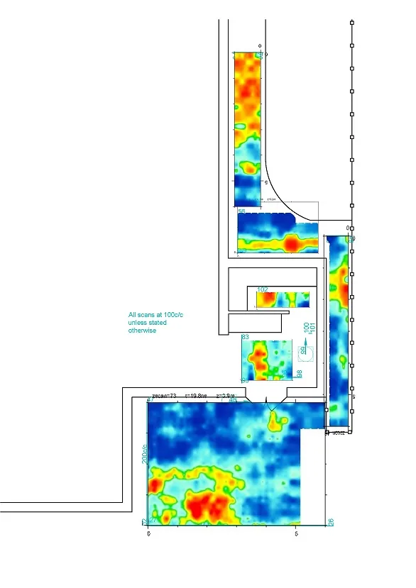
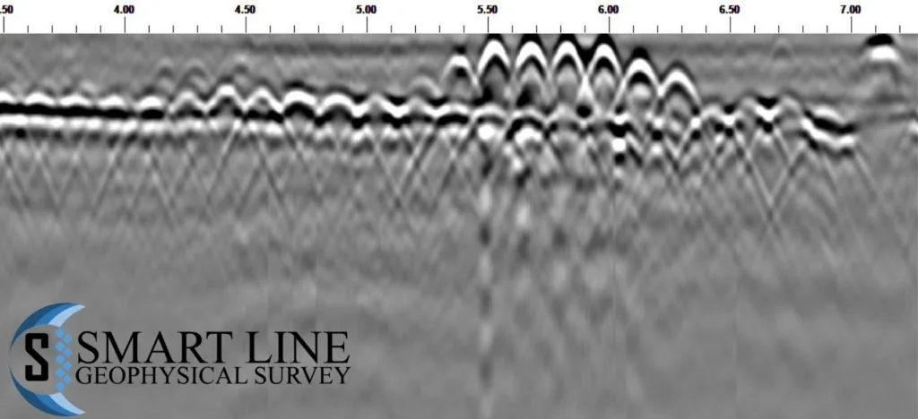
A utility locating survey in the Green Zone, Baghdad, with detected services marked on the ground and their positions recorded by GNSS.
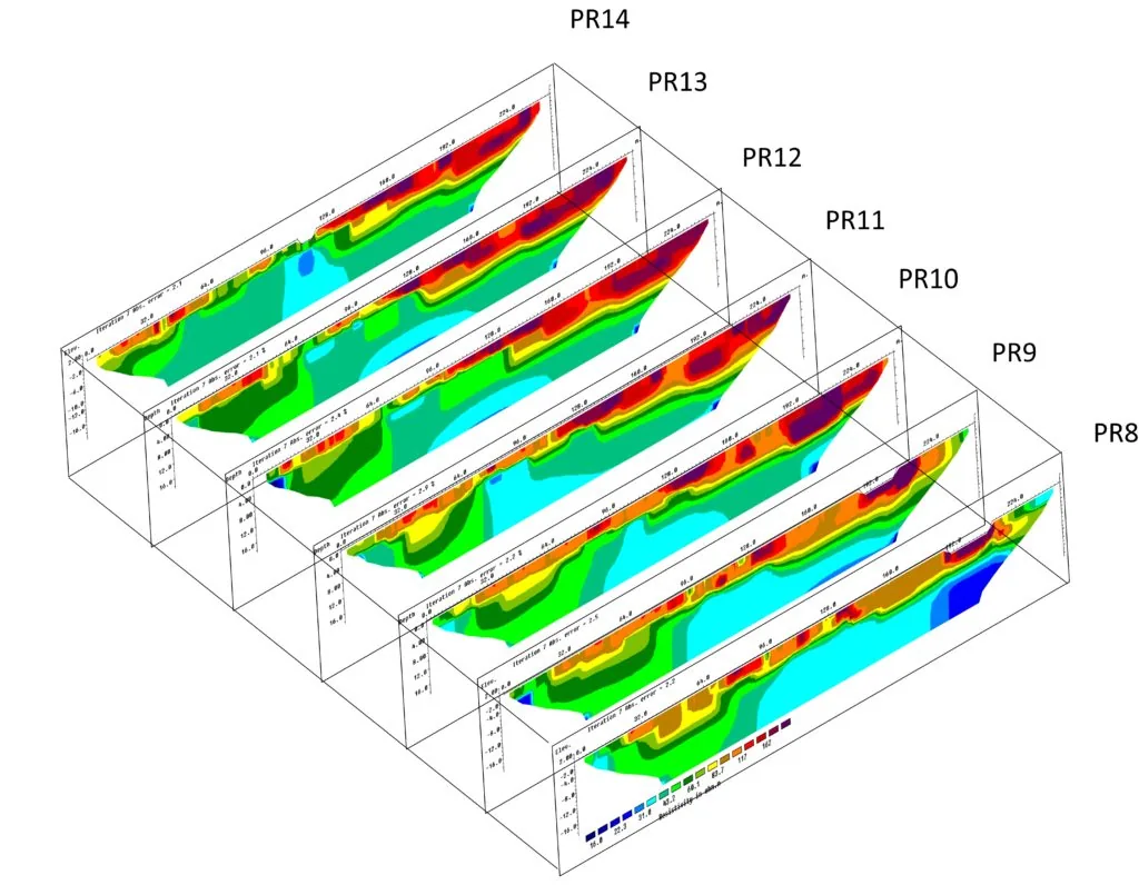
Read moreThis project provided a geological assessment of an area near the Red Sea shoreline. The ground there comprises alluvial fan deposits — mainly sand, with a few clay pockets. It was investigated using electrical resistivity tomography together with borehole lithology logs, with the ERT determining the subsurface resistivity distribution of the underlying deposits.
The investigated area was divided into two parts. Onshore, twelve 2D ERT profiles were collected using a Wenner-Schlumberger array. Offshore, a marine resistivity survey using floating electrodes collected a further ten 2D ERT profiles.
Green Zone, Baghdad · June 2026
A utility locating survey in the Green Zone, Baghdad, with detected services marked on the ground and their positions recorded by GNSS.
Read more
Middle Euphrates provinces, Iraq
Hydrogeological survey with the Iraqi Red Crescent to evaluate groundwater contamination across the middle Euphrates provinces, including pumping tests and water analysis.
Read more
Kingdom of Saudi Arabia
Consultation, processing and interpretation for a 2D electrical resistivity tomography survey to locate near-surface cavities in Saudi Arabia.
Read moreContact our Baghdad office to schedule a deployment anywhere in Iraq.