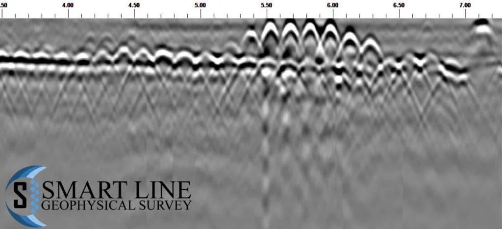
On behalf of Trace Structure Investigations Ltd., this project covered GPR data processing and interpretation to establish ground conditions, locate voids, and identify anything else the data could reveal about the ground — work intended to support future grouting to stabilise it.
A GSSI GPR system with a dual frequency 250 MHz – 800 MHz antenna was deployed across the investigated site wherever access allowed, giving both the penetration depth and the resolution needed to characterise the ground.
106 GPR scans were collected across several grids: an orthogonal pattern at 20 cm spacing on Grid 1, and a parallel pattern at 10 cm spacing, to ensure full coverage of the investigated area.