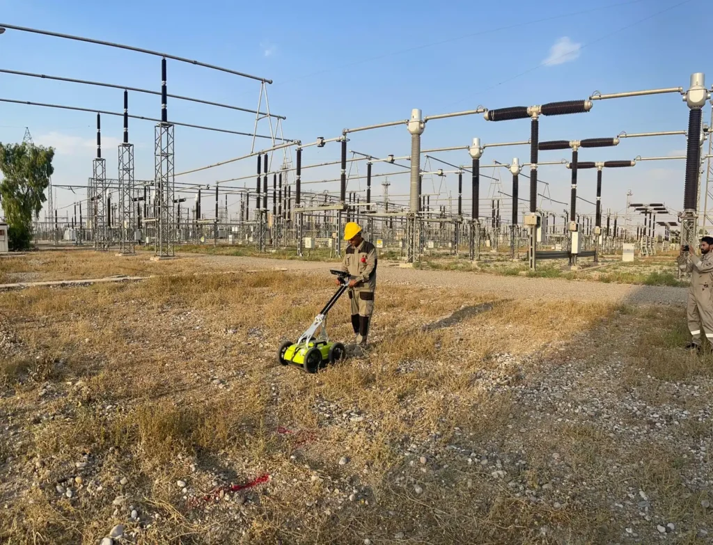
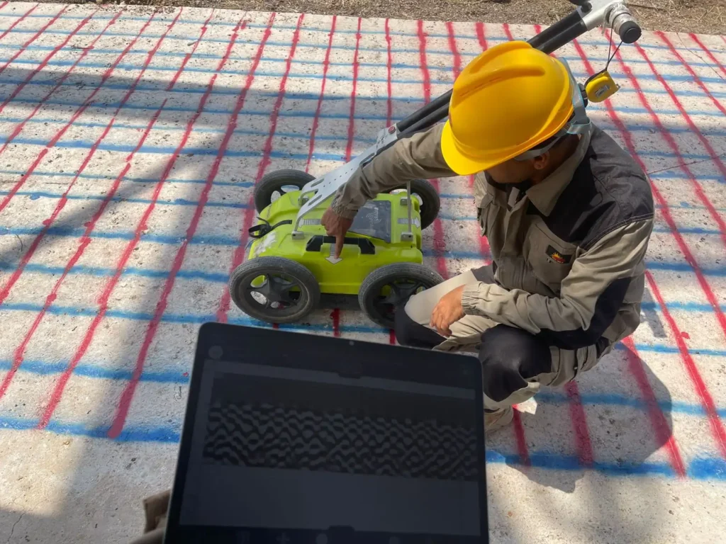
A utility survey completed for a client using ground-penetrating radar together with a Radiodetection RD8100 locator.
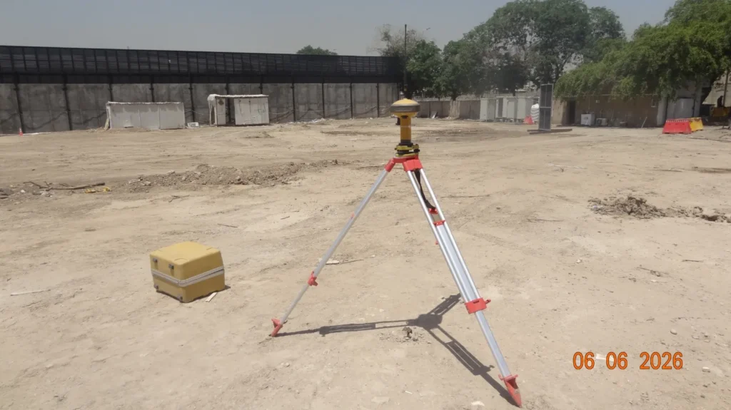
Underground pipes, cables and a manhole were detected and marked precisely on the ground surface, and the GPS coordinates of each were recorded. Marking on the ground serves the crews working that day; the recorded coordinates give the client a permanent record they can carry into their own drawings and GIS.
Using radar alongside an electromagnetic locator matters here: the locator traces conductive services quickly and confidently, while the radar finds the non-conductive ones — plastic pipe, ducting, voids — that a locator alone would miss.
Locating a buried service with the Radiodetection RD8100 beside a lighting columnGround-penetrating radar cart being run across the paved survey areaSetting a transmitter earth stake to apply a signal to a buried service
Five areas of a live electrical station in Kirkuk scanned with both GPR and an RD8200 locator to find and delineate buried pipes and cables, with every result georeferenced.