Our Products

Authorised reseller in Iraq for Radiodetection and Sensors & Software

Supplied, Taught and Calibrated

Smart Line Geophysical Survey supplies Radiodetection and Sensors & Software equipment to clients across Iraq — and does not stop at delivery.

  • Supply. New instruments sourced directly, with the configuration matched to the work rather than to a catalogue page.
  • Training. Classroom theory and hands-on field sessions, in Arabic, English or both, delivered on the client’s own site and their own equipment.
  • Calibration. Locators tested and calibrated locally, with an eCert certificate issued for each unit — no sending instruments abroad.
  • Support. Consultation before, during and after the work, from a team that runs these instruments on its own surveys.

See this equipment at work

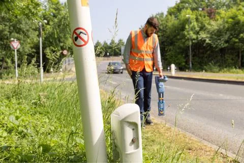
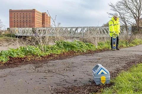
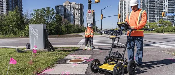
Utility locating survey in progress with located services marked on the ground

Radiodetection

United Kingdom

Radiodetection designs and builds cable and pipe locators in Great Britain, and is the originator of the Cable Avoidance Tool. Their instruments are the standard on utility and oil-field sites where striking a buried service is the risk that matters.

Radiodetection RD8200 precision cable and pipe locator

RD8200

Precision cable and pipe locator

Radiodetection’s most capable precision locator, built around damage prevention. Its sunlight-readable display and TruDepth™ readout give depth and current only when the locator is correctly oriented above the target, so a misleading reading is harder to take by accident.

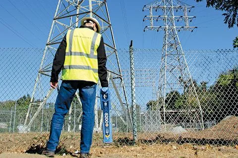
  • Current Direction, Power Filters™ and Dynamic Overload Protection isolate one line in congested ground, near substations and high-voltage cabling
  • Gyroscopic Swing Warning System encourages correct technique
  • Dual Bluetooth, on-site self-test, designed and built in Great Britain
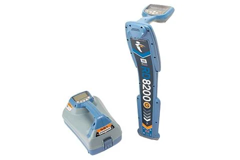
Radiodetection RD8200G precision locator with its signal transmitter

RD8200G

Precision locator with GPS

The RD8200 with integrated GPS, so every locate carries a position rather than just a mark on the ground. This is the model Smart Line has trained client teams on in Baghdad and in the southern oil fields.

  • Everything the RD8200 does, with each reading position-stamped
  • GPS-enabled usage logging gives supervisors exportable proof of work — where a locate was taken, and how
  • Sits between the standard RD8200 and the survey-grade RD8200SG: positioned records without a full mapping workflow
Radiodetection RD8200SG survey grade locator

RD8200SG

Survey-grade locating and mapping

Locates and maps buried utilities in a single operation, to survey-grade accuracy, with companion apps for Android and iOS. One pass produces both the trace on the ground and the positioned record.

  • Combined locating and mapping - no second visit to survey what was found
  • Turnkey for teams new to utility mapping, or connects into an existing GIS
  • Everything the RD8200 does, with position attached
Radiodetection C.A.T4 cable avoidance tool

C.A.T4 and Genny4

Cable avoidance tools

The C.A.T4 range is the everyday tool for avoiding strikes before a dig. Four models, so a crew can be equipped to the level of record-keeping the job actually requires.

  • C.A.T4 — the standard model; with a Genny4 transmitter it finds more services, faster
  • C.A.T4+ — adds depth measurement, so a route can be identified rather than just detected
  • gC.A.T4+ — adds GPS position and Bluetooth transfer to C.A.T Manager Online for near real-time monitoring of operator performance
  • Genny4 — patented dual-frequency output finds small-diameter cables such as telecoms and street lighting; power boost carries the signal further and deeper

Sensors & Software

Canada

Sensors & Software build ground-penetrating radar for structural assessment, utility locating, concrete scanning, forensics, archaeology, geology and environmental work. GPR sees what an electromagnetic locator cannot: plastic pipe, ducting, voids and anything without a conductor to trace.

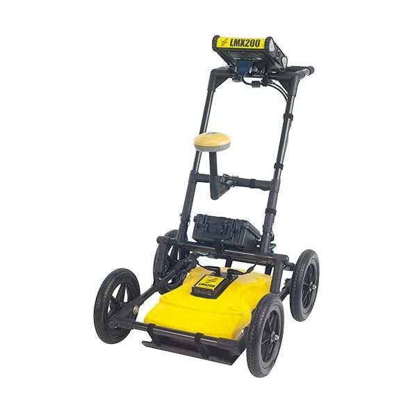
Sensors & Software LMX200 utility locating GPR cart

LMX200

Utility locating GPR

Collects geo-referenced data, builds depth slices on site, and exports formatted reports wirelessly. The flagship of the LMX range for utility work.

  • Metallic and non-metallic pipe — PVC, asbestos cement, concrete storm and sewer
  • Services with broken or damaged tracer wires, which a locator cannot follow
  • Underground storage tanks and drainage tiles
  • Non-utility structures: vaults, foundation walls
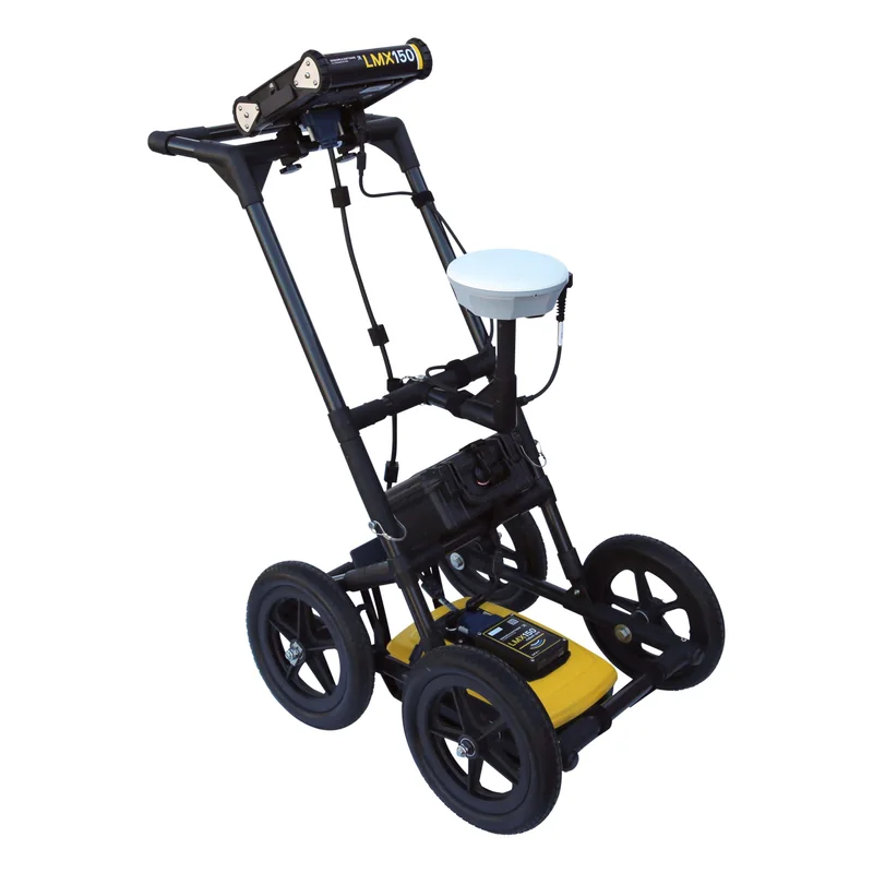
Sensors & Software LMX150 FINDAR ground-penetrating radar

LMX150 FINDAR

High-resolution GPR

High-resolution GPR optimised for forensic and utility work, giving non-destructive results in real time on site so a target can be pinpointed while the team is still standing on it.

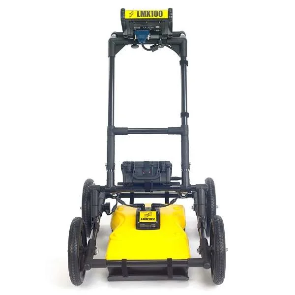
Sensors & Software LMX100 utility locating GPR

LMX100

Utility marking GPR

Designed to make marking utilities with GPR straightforward — the simplest route into radar for a locating crew that already uses electromagnetic tools.

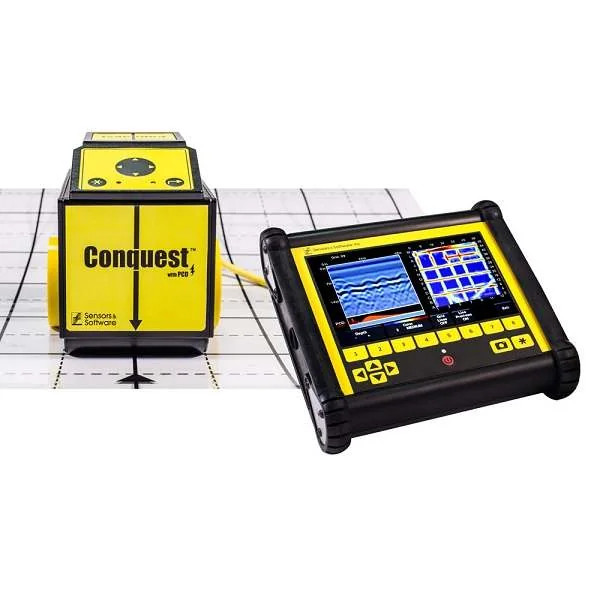
Sensors & Software Conquest 100 concrete scanner

Conquest 100

Concrete scanner

A light, portable scanner that reads what is inside a slab, wall or column before anyone cuts into it — including on curved surfaces. Coring through a reinforcing bar weakens the structure exactly where its strength is being assessed, and a scan first avoids it.

  • Inspection: rebar location, conduits, post-tension cables
  • Non-destructive testing: slab thickness, voids, concrete cover
  • Detects current-carrying wires embedded in concrete
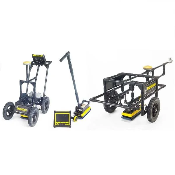
Sensors & Software Noggin ground-penetrating radar system

Noggin

Configurable GPR platform

Available in four centre frequencies and four configurations. Frequency is the trade-off that decides a GPR survey: higher resolves finer detail, lower reaches deeper. Noggin lets the system be matched to the ground and the target rather than the other way round.

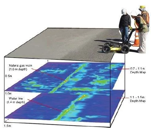
GPR depth slices showing a natural gas main at 1.0 m and a water line at 1.4 m below a road surface

What the Equipment Produces

A locator tells you a service is there. Radar tells you what the ground looks like at depth — here a natural gas main at 1.0 m and a water line at 1.4 m, each resolved on its own depth slice beneath the road surface.

That is the reason most sites need both. An electromagnetic locator traces anything conductive quickly and confidently; GPR finds the plastic pipe, the duct and the void that have no conductor to trace. Choosing between them, or running both, is part of what we advise on before an instrument is bought.

Need a quotation?

Tell us what you need to find and we will recommend the instrument, not just quote a price.